Independent seismic context • Updated 2 September 2026Verify urgent alerts with local emergency authorities
Volcano archive

Volcano spotlight

Focused profiles of individual volcanic systems, their landforms and their regional setting. These archive summaries introduce enduring geological context rather than presenting live alerts.

Volcanic cone rising above a rugged landscape for Earthquake Report
Profile collection

Six volcanic systems

Archive profiles retain the essential location and geological background. Always consult the responsible observatory and civil-protection authority for current status.

Steep tropical mountain terrain representing Bagana volcano
Reviewed 28 August 2026 • Papua New Guinea

Bagana, Bougainville Island

Bagana is a prominent active volcano in central Bougainville. Its steep profile reflects the accumulation of thick lava, while nearby volcanic terrain includes the Billy Mitchell caldera and crater lake.

Open the Bagana profile →
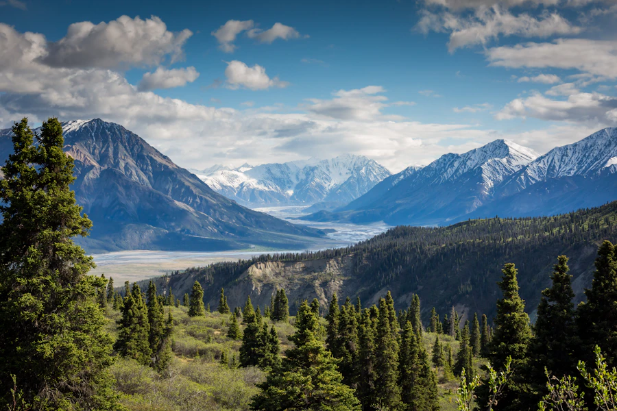
Clouds crossing a broad volcanic summit representing Ambrym
Reviewed 14 August 2026 • Vanuatu

Ambrym, Vanuatu

Ambrym is a large basaltic volcanic complex in the New Hebrides arc. Its broad caldera, layered deposits and active crater area make it an important example of an island-arc volcano.

Open the Ambrym profile →
Volcanic peak above highland vegetation representing Pacaya
Reviewed 30 August 2026 • Guatemala

Pacaya, Guatemala

Pacaya is a complex basaltic volcano associated with the Amatitlán caldera. Its location near populated highlands makes careful interpretation of official monitoring especially important.

Open the Pacaya profile →
Forested Andean terrain representing the Galeras volcanic complex
Reviewed 29 August 2026 • Colombia

Galeras, Colombia

Galeras is an andesitic volcanic complex west of Pasto. Its breached caldera and long eruptive history illustrate why landform, monitoring data and nearby communities must be considered together.

Open the Galeras profile →
How to use this archive

Background first, current bulletins for decisions

Volcano profiles explain where a system is located and how its structure developed. They cannot establish present hazard levels. Volcanic unrest can involve earthquakes, ground deformation, gas, ash and thermal changes, but individual signals require expert interpretation.

  1. Start with the location. Identify the volcanic system, surrounding communities and regional setting.
  2. Read the landform. Note whether the profile describes a caldera, stratovolcano, shield or island cone.
  3. Separate archive context from live status. A historical description is not a current alert.
  4. Check local authorities. Use observatory and civil-protection guidance for closures, exclusion zones and emergency action.
Common questions

Volcano spotlight FAQ

Are these profiles live volcano alerts?

No. They are background archive pages. Use the responsible local observatory and emergency authority for current alert levels and instructions.

Does volcanic seismicity guarantee an eruption?

No. Earthquake swarms can accompany unrest, but monitoring teams interpret them alongside deformation, gas, thermal and visual observations.

Why do volcanoes of similar shape behave differently?

Magma composition, gas, plumbing, water interaction and previous structure differ. Appearance alone does not determine likely activity.

What is a caldera?

A caldera is a large volcanic depression generally associated with collapse after magma is withdrawn during major activity. It differs from a smaller summit crater.

Can an archive profile define a safe distance?

No. Hazard zones depend on the volcano, current activity and local terrain. Follow official exclusion zones rather than a general distance.

How should ash information be checked?

Consult local authorities and the relevant aviation or meteorological advisory service. Wind can move ash far from the source and conditions can change quickly.

About this section

Individual volcanoes in geographic context

Earthquake Report maintains this collection as an accessible entry point to volcanic systems across several tectonic regions. The profiles support education and archive research, not emergency decision-making.

Corrections, accessibility feedback and editorial questions can be sent to info@earthquakereport.com-html.com.

Browse in-depth volcano articles →